Summary

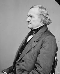
Portrait of John Catron John Catron Bates v. Illinois Central Railroad Company…

The land trespassed on and sued for, as described in the plaintiff's declaration, lies south of the south pier, is now covered with water, and a part of the bottom of the lake; on which land the end of the railroad is located. It was formerly overlaid with the sand-bar, which was swept away by the current the piers created. It is situated outside of fractional section ten, as its boundary was described by the judge to the jury. And this raises the question, by what rule is the public survey to which the patent refers for identity to be construed?
Source: Wikisource

Portrait of John Catron John Catron Bates v. Illinois Central Railroad Company…

The land granted is 102 29-100 acres, lying north of the Chicago river, bounded by it on the south, and by the lake on the east. The mouth of the river being found, establishes the southeast corner of the tract. The plat of the survey, and a call for the mouth of the river in the field-notes, show that the survey made in 1821 recognised the entrance of the river into the lake through the sand-bar in an almost direct line easterly, disregarding the channel west of the sand-bar, where the river most usually flowed before the piers were erected.
Source: Wikisource

Get perspective with Kwize: daily news enlightened by great literature