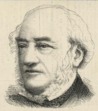
 William Owen Stanley,
Archaeological Journal
(1846)
William Owen Stanley,
Archaeological Journal
(1846)
“ At the spot where this mound and chapel stand, the parish of Holyhead is divided from that of Rhôscolyn, by the isthmus which has been described, measuring, at high tides, not more than 300 yards in width. It may deserve notice, that, under the sandy shore of Towyn-y-Capel, lies a stratum of peat, which is used for fuel by the inhabitants of the Island: it extends nearly to low-water mark, and seems to indicate an encroachment by the sea, at this place, or possibly a depression of the strata, over which have been formed an accumulated bank and dune of sand by the action of sea and winds. ”
