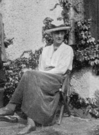
 Geraldine Edith Mitton,
Maps of Old London — Ralph Agas - The Parish of St…
(1908)
Geraldine Edith Mitton,
Maps of Old London — Ralph Agas - The Parish of St…
(1908)
“ Giles's Church, built anno 1734," which shows that the map was made not earlier than that date. It is, in fact, a part of one of a set of eighteenth-century maps based on that of Agas, and not only differing from it in detail, but also differing slightly one from another. Some of these are unsigned, and some are signed "G. Vertue," and were specifically claimed by Vertue as having been made by him, and based upon Agas's map of 1560. ”
