Great Australian Bight

Definition and stakes

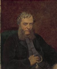
Portrait of Matthew Flinders Matthew Flinders,  A Voyage to Terra Australis (1814)

“ At the termination of the bank and of the second range of cliffs, the coast became sandy, and trended north-eastward about three leagues; after which it turned south-east-by-east, and formed the head of the Great Australian Bight, whose latitude I make to be 31° 29′ south, and longitude 131° 10′ east. In the chart of admiral D'Entrecasteaux, the head of the Great Bight is placed in 31° 36′ and 131° 27′ ”
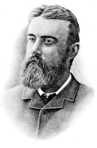
Source: Wikisource

Portrait of Ernest Favenc Ernest Favenc,  The History of Australian Exploration from 1788 to 1888

“ To the westward, many of the peaks reach altitudes of over 5,000 and 6,000 feet, until the large depression is encountered through which the great body of interior waters find their way to the sea by means of the Murray Channel.
West of this gap, the edge of the tableland is broken, and depressed, the highest crests of the coastal range rarely reaching to 3,000 feet in height, and along the shore line, facing the Great Australian Bight, it is almost non-existent.
”
Source: Gutenberg

Harry Johnston,  Pioneers in Australasia

“ From Mauritius he sailed east and south, and did not sight the West Australian coast at all, his course trending so much to the south that instead he crossed the great Australian Bight [47] and first saw land off the west coast of Tasmania, in the vicinity of what is now known as Macquarie Harbour. He at once conferred on this land the name of Anthonij Van Diemen, the Governor-General of the Dutch Indies, and the principal promoter of this exploring expedition. He overlooked the passage to the north (Bass's Strait) , and directed his course southwards. ”
Source: Gutenberg

Get perspective with Kwize: daily news enlightened by great literature