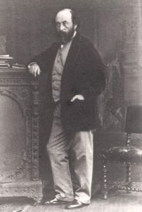
Joseph Beete Jukes

Joseph Beete Jukes

Summary

Portrait of Joseph Beete Jukes Joseph Beete Jukes The South Staffordshire Coalfield… (1859)

Returning now to the south of Dudley, the outcrop of the Thick coal may be traced by the old workings along the south-west side of the town up to Shaver's End and Russell's Hall. It dips at a gentle angle to the south-west, not exceeding in any case 20°, and rarely so much as 10°, and as the ground likewise slopes rapidly in that direction, the Thick coal does not at first acquire any great depth, and its outcrop is deeply waved and indented by the valleys and hollows of the surface.
Source: Wikisource

Portrait of Joseph Beete Jukes Joseph Beete Jukes The South Staffordshire Coalfield… (1859)

The southern boundary of the coal-field stretching from Wychbury Hill on the west, to Lappal tunnel on the east, is formed by the horizontal beds of the upper Coal-measure sandstones and shales becoming covered as we ascend the rising ground to the south, by the horizontal beds of the Permian rocks. [9] It will be seen accordingly, by inspection of the map, that this boundary, instead of being smooth and regular, like that of the east and west sides of the coal-field, is indented and undulating, depending chiefly on the shape of the ground.
Source: Wikisource

Portrait of Joseph Beete Jukes Joseph Beete Jukes The South Staffordshire Coalfield… (1859)

There then appears to be another fault ranging about north-east by east, having likewise a southerly downthrow, bringing in the red rock of the Permian formation, under which the Thick coal continues for some distance at a depth of 600 or 700 feet till it ends, either in a rock fault, an outcrop of the beds into the Permian rock, or against an upthrow fault. It is not improbable that the Thick coal terminates for a time, if not altogether, towards the east under the Permian rocks, in one or all three, of the methods alluded to above.
Source: Wikisource

Get perspective with Kwize: daily news enlightened by great literature