Sandusky River

Definition and stakes

Various,  American Journal of Science, Vol…

“ Sandusky Plains, lying on the high ground between the head waters of the Whetstone branch of the Scioto river, and the waters of streams running into Lake Erie, are still more extensive than those of Pickaway, covered with a coarse, tall grass, intermixed with weeds, with here and there a tree, presenting to the eye a landscape of great extent.
The moist prairies generally lie along some stream, or at the head of one, on level land, or on that which gently descends. The moist prairies are too wet for trees to grow on them
”
Source: Gutenberg

Various,  Harper's Young People, June 1, 1880

“ I live in Upper Sandusky, Ohio, on the banks of the Sandusky River. This is a very historical country. It was named after a tribe of Indians called the Wyandottes, who burned Colonel Crawford at the stake on the 11th of June, 1782. In the southern part of this town is a tree called the "Big Sycamore." It is sixteen feet in diameter, and about one hundred and fifty feet high. It has several limbs that are from five to eight feet in diameter. I have some pet ducks I think a great deal of, and a sheep named Dick, that follows me everywhere.
Willie B. G.
”
Source: Gutenberg

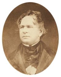
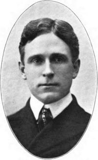
Portrait of Archer Butler Hulbert Archer Butler Hulbert,  Indian Thoroughfares (1902-05)

“ For best map, see Heckewelder's Map of Northwestern Ohio, 1796.
East and West Trails, No. 2.
Name: The Mahoning Trail.
Termini: Fort Pitt and Fort Sandusky.
Route: Left the "Great Trail" near the mouth of the Beaver—ascended the Beaver and Mahoning valleys—crossed the watershed to the portage between Cuyahoga and Tuscarawas rivers—followed watershed until the Great Trail was met on head of Sandusky river—descended Sandusky river to Fort Sandusky.
”
Source: Wikisource

Get perspective with Kwize: daily news enlightened by great literature