Summary

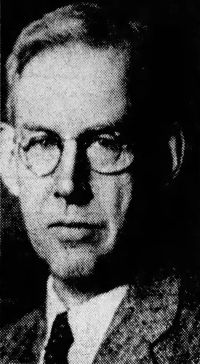
Portrait of John Kirtland Wright John Kirtland Wright The Leardo Map of the World, 1452 or 1453

With the identification of Ptolemaic and medieval names in the Far East, in Africa, and in Scandinavia, we enter upon a hazardous and controversial field. While in many instances I have indicated identifications that have been made by competent scholars, needless to say, these should not be accepted as final. One cannot but feel that where an identification is based upon mere similarity in sound it is often a case of one man’s guess being as good as another’s.
Source: Gutenberg

Portrait of John Kirtland Wright John Kirtland Wright The Leardo Map of the World, 1452 or 1453

European cartographers of the fourteenth and fifteenth centuries seem to have known and cared little about the relative positions of places in Asia; as Italian merchants by this time had established contacts with the Mongols in southern Russia, what was more natural than to place the Mongol overlord’s tomb in the hinterland of the Black Sea? Here there was more available space than in the Far East, and here on Leardo’s map the Grand Khan’s tomb could be made symmetrically to balance Prester John’s palace across the map in Africa (299) .
Source: Gutenberg

Portrait of John Kirtland Wright John Kirtland Wright The Leardo Map of the World, 1452 or 1453

Medieval navigators’ charts also influenced Leardo. Towards the close of the thirteenth century sailors in the Mediterranean—particularly Italians and Catalans—began making marine maps (known as portolan charts) that far surpassed all earlier maps in the accurate delineation of coast lines. The majority of these show the Mediterranean and Atlantic coasts of Europe and of north Africa but little of the interior of the continents and nothing of the farther parts of Asia. Some, however, were used as the basis for maps of the world.
Source: Gutenberg

Get perspective with Kwize: daily news enlightened by great literature