Cape Fear River

Definition and stakes

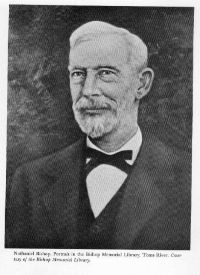
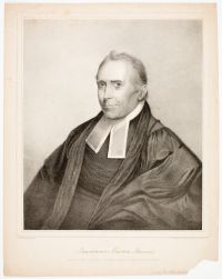
Portrait of Nathaniel H. Bishop Nathaniel H. Bishop,  Voyage of the Paper Canoe

“ The creeks were growing more shallow, and near the bulkhead, or middleground, where tides from two inlets met, there was so little water and so many oyster reefs, that, without a chart, the route grew more and more perplexing in character. It was a distance of thirty miles to Cape Fear, and twenty miles to New Inlet, which was one of the mouths of Cape Fear River. From the plantation to New Inlet, the shallow interior sheets of water with their marshes were called Middle, Masonboro, and Myrtle sounds. ”
Source: Gutenberg

A Book of the United States

“ Its whole course is two hundred miles. It is navigable by sloops sixty miles; the low lands on the banks are subjected to annual inundations.
Cape Fear River is the largest in North Carolina. It rises one hundred miles above Fayetteville; and thence running two hundred miles eastward, falls into the Atlantic ocean at Cape Fear, where it is three miles wide, and eighteen feet deep at high tide. It is navigable by vessels drawing ten feet water, up to Wilmington, a little below the confluence of its two principal streams.
”
Source: Gutenberg

Portrait of Nathaniel H. Bishop Nathaniel H. Bishop,  Voyage of the Paper Canoe

“ The watercourses now became more intricate, growing narrower as I rowed southward. The open waters of the sound were left behind, and I entered a labyrinth of creeks and small sheets of water, which form a network in the marshes between the sandy beach-islands and the mainland all the way to Cape Fear River. The Core Sound sheet of the United States Coast Survey ended at Cape Lookout, there being no charts of the route to Masonboro. I was [207] therefore now travelling upon local knowledge, which proves usually a very uncertain guide. ”
Source: Gutenberg

Get perspective with Kwize: daily news enlightened by great literature