Queen Charlotte Islands

Definition and stakes

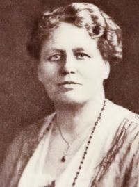
Newton H. Chittenden,  Official Report of the Exploration of the Queen Charlotte Islands for the Government of British…

“ The Queen Charlotte Islands, in common with all those lying off the north-west coast of the continent, are evidently the mountain tops of a submerged land, separated from it by a mighty volcanic upheaval followed by the sinking of the earth's surface, and the inflowing of the waters of the ocean, forming the most remarkable labyrinth of inlets, sounds, straits, channels and passages on the face of the globe. ”
Source: Gutenberg

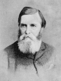
Portrait of R. M. Ballantyne R. M. Ballantyne,  Handbook to the new Gold-fields

“ The islands lying close to the shore follow its sinuosities, and through the narrow channels thus formed the currents are rapid; those more detached are more fertile; they are all the resort of the natives during the fishing season. Their formation is granite, the prevailing rock north of latitude 49 degrees. Distant thirty miles at its nearest and ninety at its furthest point from the line of islands which cover this coast, and under parallels 52 degrees and 54 degrees, lies Queen Charlotte’s Island, called by the Americans Washington. ”
Source: Gutenberg

Newton H. Chittenden,  Official Report of the Exploration of the Queen Charlotte Islands for the Government of British…

“ KIO-KATH-LI INLET, which, with the exception of Rennell Sound, is the largest indentation on the west shore of Graham Island, being over five miles in length and three miles in width; containing five islands and receiving three streams, from fifty to one hundred feet in width, the largest being navigable for canoes about a half a mile from its mouth. Its south-eastern shores are very irregular. Mount Richard,* the highest elevation in the north part of the island, lies to the eastward. ”
Source: Gutenberg

Get perspective with Kwize: daily news enlightened by great literature