United States Coast Survey

Definition and stakes

The New Student's Reference Work (1914)

“ Coast-Survey, of the United States, is an undertaking of great importance. With a long and dangerous seacoast; with thousands of vessels yearly entering and leaving our ports; and with a great coasting trade, it is the duty of the nation to provide every means which science and skill can offer for pointing out the dangers of the coast. The coast-survey was founded for these objects. It furnishes accurate maps of the whole coast, including Alaska ”

Source: Wikisource

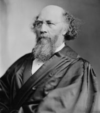
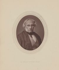
Portrait of John Marshall Harlan II John Marshall Harlan II,  United States v. California (381 U.S. 139…

“ We hold that California's position represents the better view of the matter. The Submerged Lands Act defines coastline in terms of the 'line of ordinary low water.' The Convention (Art. 3) uses 'the low-water line along the coast as marked on large-scale charts officially recognized by the coastal State' (i.e., the United States) . We interpret the two lines thus indicated to conform, and on the official United States coastal charts of the Pacific Coast prepared by the United States Coast and Geodetic Survey, it is the lower low water line which is marked. ”
Source: Wikisource

Popular Science Monthly (1872)

“ Pierce showed that the necessities of the Coast Survey extended its operations to all parts of the United States. No science could be divided and separated so as to stand alone. If one begins by measuring his town-lots, the method involves geometry and astronomy, geology and surveying, including ultimately the coast survey. ”
Source: Wikisource

Get perspective with Kwize: daily news enlightened by great literature