Housatonic River

Definition and stakes

Ruth Sawyer Harvey,  Drainage Modifications and Glaciation in the Danbury Region Connecticut

“ After the limestone had been worn down to approximate baselevel, the tendency of the Still would have been to seek an outlet farther south in order to shorten its course and reach a lower level on the Housatonic. This stage in the evolution of the river may not have been reached before the ice age, and it is thus possible that glacial deposits may have pushed the river to the extreme southern side of its valley, superimposed it over rock, and forced it to cut its way down to grade. ”
Source: Gutenberg

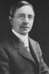
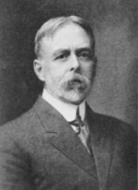
Portrait of Albert Perry Brigham Albert Perry Brigham,  From trail to railway through the Appalachians (1907)

“ At the north the Hoosick river flows from it, across a corner of Vermont, to the Hudson. On the first is beautiful Pittsfield, and on the second is busy North Adams with its mills. In sight everywhere are the mountains, not very high and usually covered with forest, but sometimes bold and rocky. Farther north we should call them the Green mountains, but here we name them the Berkshires. The eastern range, which separates the Housatonic valley on the west from the Connecticut valley on the east, is Hoosac mountain, of which we shall hear again. ”
Source: Gutenberg

Ruth Sawyer Harvey,  Drainage Modifications and Glaciation in the Danbury Region Connecticut

“ At Lanesville near the mouth of the Still, the river has cut a gorge 30 feet deep and one-quarter mile long in the limestone. Upstream from this gorge the river meanders widely in a flat valley, whereas on the downstream side it has cut a deep channel in the drift in order to reach the level of the Housatonic. There is room in the drift-covered plain to the west for a buried channel of Still River which could join the Housatonic at any point between New Milford and Stillriver station. ”
Source: Gutenberg

Get perspective with Kwize: daily news enlightened by great literature