La Bassée

Definition and stakes

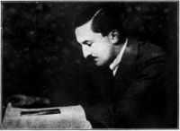
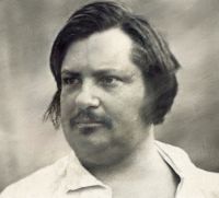
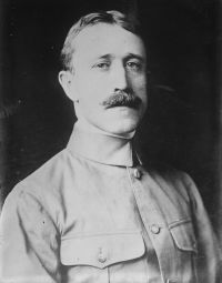
Portrait of H. C. McNeile H. C. McNeile No Man's Land

You may have the dead flat of pastoral Flanders, the little woods, the plough, the dykes of Ypres and Boesinghe; you may have the slag-heaps and smoking chimneys of La Bassée and Loos; you may have the gently undulating country of Albert and the Somme. Each bears the marks of the German beast—and, like their inhabitants, they show those marks differently. Ypres and the North, apathetic, seemingly lifeless
Source: Gutenberg

Frederick P. Gibbon The 42nd (East Lancashire) Division 1914-1918 (1920)

The front of the La Bassée Sector ran north and south for nearly 5000 yards, and was intersected in the centre by the Béthune—La Bassée Canal, at a point roughly three kilometres west of the town of La Bassée. The left, or Givenchy, sub-sector contained the ruins of Givenchy, once a mining village, now an important tactical point on a spur of the Aubers ridge. The right sub-sector, which included the canal and the village of Cuinchy to the south, was known as the Canal Sector.
Source: Gutenberg

Get perspective with Kwize: daily news enlightened by great literature