Mercator projection

Definition and stakes

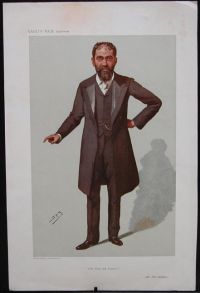
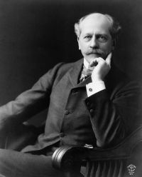
Portrait of Percival Lowell Percival Lowell,  Mars (1896)

“ These names will be found affixed to their respective canals in the map at the end of the book, a map made upon what is called Mercator's projection. Mercator's projection I take to have been primarily an invention of the devil, although commonly credited to Mercator. It is not simple to construct and for popular purposes is eminently deceitful. It is intended for those at sea, whom we pray for on Sundays. It is certainly calculated to put any one entirely at sea who attempts to learn geography by means of it. ”
Source: Wikisource

Various,  Popular Science Monthly (1886)

“ Mercator's principal title to fame rests upon his invention of the method of drawing maps, which is known as Mercator's Projection. Under this system the map represents the earth as an unrolled cylinder, and the poles are remanded to infinity. The parallels of latitude and the meridians are drawn as straight lines, crossing one another at right angles. ”
Source: Wikisource

G. R. Putnam,  Nautical Charts

“ The surface of the earth being curved, there is no possible system of projection by which it can be represented on a flat sheet of paper in an ideally satisfactory way. Numerous methods of projecting the earth's surface upon a plane have been proposed and many of them are actually used for various purposes. In general each projection has qualities which are valuable for certain uses, and deficiencies which make it less valuable in other ways. Only four of the different projections need be mentioned here as of special interest in chart construction.
Mercator projection.
”
Source: Gutenberg

Get perspective with Kwize: daily news enlightened by great literature