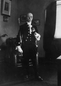
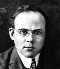
J. W. Hawes, The American Cyclopædia (1879)
“ The principal tributaries of the South Platte from the mountains have an E. direction, and join the main river before its confluence with the Cache à la Poudre, which also rises in the mountains N. of Long's peak. Beginning from the south, they are: the North fork of the South Platte; Clear creek, which, rising near the base of Gray's peak, flows through Clear Creek and Gilpin counties ”