Yakima River

Definition and stakes

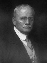
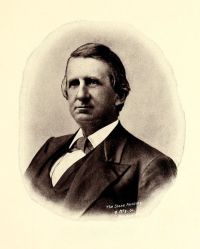
Portrait of Harlan Ingersoll Smith Harlan Ingersoll Smith,  The Archaeology of the Yakima Valley

“ North Yakima is on the western side of the Yakima River, about two miles below the mouth of the Naches, which empties into the Yakima from the west, immediately below where the latter breaks through Yakima Ridge. This break is called the Gap or the Upper Gap. North Yakima is at an altitude of 1067 feet above the sea level. The soil of the valley is made up of a rich volcanic ash and the region is arid and practically treeless except on the banks of the rivers and creeks or where irrigation has been successfully practised. ”
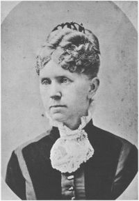
Source: Gutenberg

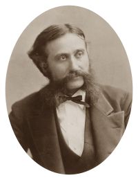
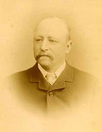
Portrait of Frances Fuller Victor Frances Fuller Victor,  Atlantis Arisen (1891)

“ Just north of the Stampede Pass the Yakima River has its source in three small lakes,—Kitchelas, Kalichass, and Cle-ee-lum, and the railroad follows down this stream to its entrance into the Columbia. The valley of the Yakima is rather a great basin than a valley, bounded by the Cascade Mountains on the west,
the Wenatehe Eiver on the north, and the Columbia River on the south and east, containing several smaller valleys on the west side, namely, the Wenass, Nachess, Atahnam, Pisco, Topunish, and Klickitat, with numerous small streams debouching into the Columbia.
”
Source: Wikisource

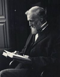
Portrait of William Denison Lyman William Denison Lyman,  The Columbia River: Its History…

“ The River from the foot of Priest Rapids is regularly navigated by several steamers connecting the new lands and towns with Pasco, the railroad centre seventy miles below. This section of the River is deep and tranquil, a superb watercourse. Below Hanford the River receives the Yakima River, which is the important agent in the irrigation of the great Yakima Valley. ”
Source: Gutenberg

Get perspective with Kwize: daily news enlightened by great literature