Triangulation

Definition and stakes

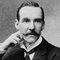
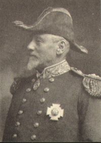
Portrait of Arthur Mostyn Field Arthur Mostyn Field,  1911 Encyclopædia Britannica, Volume 26… (1911)

“ The elaborate methods and rigid accuracy of a triangulation for geodetic purposes on shore are unnecessary, and are not attempted; astronomical observations at intervals in an extended survey prevent any serious accumulation of errors consequent upon a triangulation which is usually carried out with instruments, of which an 8-in. theodolite is the largest size used, whilst 5-in. theodolites generally suffice, and the sextant is largely employed for the minor triangulation. ”
Source: Wikisource

Alexander Ross Clarke and Friedrich Robert Helmert,  1911 Encyclopædia Britannica, Volume 11… (1911)

“ If now there be a number of astronomical stations in the triangulation, and we form equations such as the above for each point, then we can from them determine those values of ξ, η, da, de, which make the quantity ξ2 + η2 + ξ′2 + η′2 + ... a minimum. Thus we obtain that spheroid which best represents the surface covered by the triangulation. ”
Source: Wikisource

Alexander Ross Clarke and Friedrich Robert Helmert,  1911 Encyclopædia Britannica, Volume 11… (1911)

“ Calculation of Triangulation.
The surface of Great Britain and Ireland is uniformly covered by triangulation, of which the sides are of various lengths from 10 to 111 miles. The largest triangle has one angle at Snowdon in Wales, another on Slieve Donard in Ireland, and a third at Scaw Fell in Cumberland; each side is over a hundred miles and the spherical excess is 64′′. The more ordinary method of triangulation is, however, that of chains of triangles, in the direction of the meridian and perpendicular thereto.
”
Source: Wikisource

Get perspective with Kwize: daily news enlightened by great literature